With over 2,000 customers across map-as-a-service, software-as-a-service (SaaS), IoT solutions and application programming interface (API), the IPO-bound tech company MapmyIndia is looking to create mapping solutions that will be high definition, 4-dimensional and built for the metaverse, showing a realistic view of the entire world with granular data points to help both the public and private sector use cases.
Away from the funding race and unicorn buzz, the 26-year-old mapping tech company MapmyIndia has been powering some of the leading companies in India and globally including Apple, Uber, Amazon, BMW, Honda, Toyota, Mercedes, Ola, Yulu, Flipkart, Ola, Amazon, HDFC bank, Central Board of Direct Taxes, Umang App, Indian Space Research Organisation (ISRO), State governments and many more. The company’s repository of mapping data of the Indian landscape covers 6.3 million road kilometres, 7,933 towns and cities, 6,37,472 villages, 17.79 million places across categories.
Futuristic goals
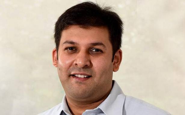
“What’s exciting to us is how when we started with our digital map data product in the 1990s, we knew 80 per cent of all data will have a location component to it eventually. Then we saw so many use cases. Our next bet is futuristic but it will happen sooner than later and in a larger way than people can foresee today. We are looking at creating a realistic view of the real world or a real metaverse in a high-definition 4D digital model. There will be use cases across consumers, enterprises, government, gaming, developers and automotive,” Rohan Verma, CEO and Executive Director, MapmyIndia told BusinessLine.
“Secondly, this is more relevant even now, our digital address system called eLoc. Through this, any location or address in India can be represented in six characters. It will be as helpful for delivery executives looking for a specific location as for a government which wants to know whether a particular location has got a gas connection in every household,” he said.
Fundraising plans
Currently, waiting for SEBI’s nod for its ₹1,200-crore IPO, the company has been focussing on its B2B and B2B2C play and not much is known about its product offerings where it is currently competing with peers like Google, TomTom and Here Technologies to name a few.
MapmyIndia wants to utilise the funds raised from its listing to boost marketing activities, acquisitions and further develop its technology. The company is profitable and has been cash-flow positive too. Its cash flow from operations grew 152.6 per cent between FY20 and FY21 reaching ₹98.5 crore, according to the Draft Red Herring Prospectus (DRHP).
Around 36.11 per cent stake in the company is held by PhonePe, 17.82 per cent by Japanese map publisher Zenrin and 8.48 per cent by Qualcomm, apart from the promoters and a few other investors. “Post IPO, the promoters will hold more than 50 per cent stake in the company, 18-20 per cent will be offered and held by public and the rest by the existing investors including PhonePe and Zenrin,” Verma said.
It has more than 2,000 enterprise customers at present and 80 per cent of its revenue is contributed by 25 key clients as of 2021. The company has been offerings its APIs and SaaS products across 200 countries including Sri Lanka, Bangladesh, Nepal, Bhutan, Myanmar, UAE and Egypt.
Post listing, Verma said the company will continue to look at more opportunities in the US, Europe, Middle East and Southeast Asia but the core focus will still be India, where it gets most of its business from and sees more promise.
As of global expansion, Verma said that the company will be creating tailored solutions for the different markets depending on their needs. “Our offerings will depend on the geographies we are operating in. Emerging markets will have different needs as compared to developed markets,” he said.
Government projects
MapmyIndia has over 80 per cent market share in the mapping solutions category for the automotive sector in India. Beyond that, it has been working with various consumer-focused apps and the government for population-scale platforms and geospatial transformation projects.
The company has been working on Project Insight with the Income Tax department to help sieve big data and analyse patterns of income tax evasion happening during the collection. MapmyIndia’s mapping solution could provide granular data on various metrics such as affluence levels by locality and levels of taxes approximately paid in a certain neighbourhood.
It can provide details on the concentration of ATMs in a neighbourhood, and even accessibility of public health in a village etc. MapmyIndia is also providing its API for UMANG app, a common app for all government services.
It has partnered with ISRO by combining its maps and technology with its satellite imagery and earth observation data. “We have combined both to create an end-to-end atmanirbhar geospatial solution for academic, research, scientific progress, economic and other purposes,” Verma said.
The company was actively working on helping policymakers analyse geospatially where Covid hotspots existed, while powering the Cowin platform with real-time data on vaccine centres and oxygen tracking. MapmyIndia also helped logistic companies to avoid containment zones.


