


During the 19th Century, this city that is now Chennai led India into a new age of mapping. Mark Madras week with us, exploring relics and stories of the Great Trigonometrical Survey

During the 19th Century, this city that is now Chennai led India into a new age of mapping. Mark Madras week with us, exploring relics and stories of the Great Trigonometrical Survey
Back when explorers of the Western world were still finding their way around our land, penning India down as a map was no mean feat. The process, taken up by many through the centuries, was as challenging as it was historically, economically and politically important — and a major portion of it began right here in Madras.

The city has played a pivotal role in helping the world better understand the Indian subcontinent. The State’s history of cartography and surveying pushed the boundaries of its time, with academics attributing ‘India’s first modern scientific survey’ to the instructions of a Superintendent of Madras in 1787. Other than its own efforts in these fields, Madras has also contributed immensely to others’ efforts in surveying and mapping. Historically, it has done this through its involvement with the Great Trigonometrical Survey (GTS) of India, a pioneering survey utilising the method of triangulation.

The British Deputy High Commissioner, Stuart Innes, and the Historian, S. Muthiah, at the old maps exhibition at Lalit Kala Akademi to mark “The William Lambton Commemoration” in Chennai on August 30, 2003. Photo: N. Balaji.
| Photo Credit: BALAJI N
“You had a map of a very large landmass of the world. It had been surveyed as far as its elevation and relief features were concerned. We shouldn’t forget that it began in Madras and eventually went all the way to Mt. Everest. It was an excellent survey. By the end of it, they [the British] knew the country like the back of their hand,” says historian and heritage activist V Sriram about the GTS that took nearly a century to be accomplished.
Where History stands today

Many relics of the Great Trigonometrical Survey (GTS) can still be seen around the country. Some you can find in Chennai are:
A GTS station atop St. Thomas Mount, Chennai, from where Col. William Lambton began the Great Arc Expedition. The spot marked the first station of the GTS.

A bust of William Lambton, paying tribute to his efforts near the St. Thomas Mount station.
At Injambakkam, a suburb of Chennai, a station is situated between the Buckingham Canal and the seashore.

A pillar at the Regional Meteorological Society, Nungambakkam details its importance to the GTS’ efforts as well.
A GTS benchmark exists a few metres from the above- mentioned pillar.
Near the iconic Doric column lighthouse, located near the Madras High Court, we can find yet another benchmark.
If you’re interested in locating more such stations or benchmarks across Chennai or even India, the Triangulations in India and Adjacent Countries (GT Data Only), printed by the office of the Survey of India, is a good place to start your historical sleuthing.
The GTS’ history can be traced back to the early 1800s in modern-day Karnataka. Following the defeat of Tipu Sultan in the Fourth Anglo-Mysore War, the British East India Company had control over vast amounts of the Indian subcontinent yet had little knowledge of its actual size and boundaries. When trying to solve this problem through surveys and exploration another problem arose: the lack of precise measurement for surveying. This was soon rectified by William Lambton.
Lambton, a soldier in the Fourth Anglo-Mysore War, had initially attempted to determine the breadth of the peninsula, from Madras to its opposite coast, and fix the latitudes and longitudes of many important places. After having received better instruments, and rejecting his initial attempt in 1800, he began a journey he would never end up seeing finished: the Great Trigonometrical Survey of India.
On 10 April, 1802, this survey commenced with the measurement of a baseline near Saint Thomas’ Mount, Madras. From this a series of triangles was carried, about 85 miles East, North and South to Cuddalore covering over 3,700 square miles.
Where it all began
Sriram speaks on the cultural reasons behind choosing Madras: “Madras was really where the empire had begun. This was a very well established station as far as they were concerned, in 1802. It was also a question of where the army was located. With them being located in Calcutta, Bombay and Madras. The Survey of India, not yet named as such then, had its origins here [in Madras] as well”
")
Goldingham swinging a Kater’s pendulum hung in front of a Haswell clock in the observatory in 1821.
The second assistant, Thiruvenkatachary, is reading the clock, while the first assistant, Srinivasachary, sitting near the 18 ft granite
pier, is noting down the reading (Phil. Trans. 18~2)
| Photo Credit: A public domain image sourced from the University of Cambridge
The Survey of India (SOI), the Indian Government’s oldest scientific department, was one of the parties that would undertake the GTS in the later parts of its life, making them an authority on the matter. Therefore by looking back into its history, we can better understand the science behind choosing Madras as a starting point.
The first to survey the stars
Although the Madras Observatory had officially begun operations in 1792, its history can be traced further back to a private observatory in Egmore. In 1786, William Petrie, Governor of Prince of Wales Island, Penang, and briefly Governor of Madras in 1807, set up a private observatory in his residence in Egmore.
Upon Michael Topping convincing him to donate his facilities and instruments to the Madras Government for scientific purposes, the observatory was moved to the banks of the river Cooum in Nungambakkam. Topping would succeed Petrie as the director of the observatory upon the latter’s passing. Topping was then succeeded by John Goldingham, who would go on to head the Madras Survey School (College of Engineering, Guindy).
The observatory was host to important Indian astronomers, with Chinthamani Ragoonatha Chary, a native of Nungambakkam, Madras, working in the observatory as well. Chinthamani was an Indian astronomer who worked at the Madras Observatory along with NR Pogson. He was the first Indian Fellow of the Royal Astronomical Society, known for his studies of variable stars and the discovery of R Reticuli in 1867.
Arun Kumar, in-charge of the National Survey Museum, SOI, elaborates on this scientific reasoning: “There was an astronomical observatory already in Madras [otherwise known as Madras Observatory]since 1792. This was the first observatory established by the British in India. The astronomical coordinates provided by the observatory were used as a known value. If you start a survey, you have to know the origin point. Secondly, the vertical datum or the height made it easy to connect to the sea level of Madras, making it a good reference point.”
Origins of modern engineering
The Madras Observatory was the brainchild of Michael Topping, a surveyor and astronomer, a man of some eminence. He was described as ‘the most talented and highly qualified all round surveyor that served the East India Company during the 18th Century’, states Rajesh Kochhar, former Director of the National Institute of Science, Technology and Development Studies, in his article Madras and Kodaikanal Observatories: A Brief History.
Topping had initially conducted a triangulation survey as well, in 1788, of the Coromandel Coast, from Madras to Masulitpatnam. He describes his account of this to Tiberius Cavallo, a physicist and philosopher, in a letter as follows:

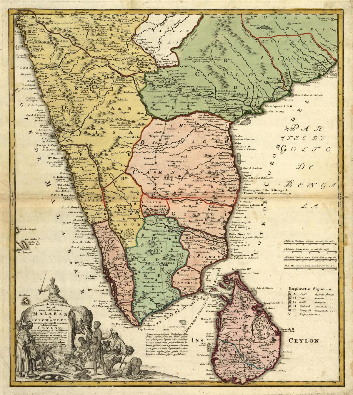
A segment of a map titled Overland Route to India, 1851
| Photo Credit: University of Michigan Library, John Tallis & Co. (1851)
Fuel your cartographic fire
Have an interest in viewing vintage maps but have a low budget and no idea where to start? These are some places online that could help propel you from a novice enthusiast to a cartographic master.
University or government library archives: Many governments across the world have had years of mercantile and diplomatic history with other states resulting in ancient documents, including maps being found in their library archives. (The American Library of Congress for example) University archives too have long histories, and are very extensive and detailed in their descriptions. The online archives of The University of Cambridge or the University of Michigan would be a good start.
Online storefronts: Many websites have copies of maps and other cartographic documents readily available, as digital copies or mail-ordered physical ones. Prices may start low, depending on whether it is a copy, its condition, delivery costs and its age, but don’t expect mint condition copies of vintage maps to be easily accessible with tight budgets. Some websites include: https://www.geographicus.com or https://www.etsy.com for a lower price point.
Private online resources: There are many individuals who share your cartographic interest and have the time and resources to share their knowledge with the rest of the world. Sites liike oldmapsonline.org scratch a basic mapping itch you might have without a heavy time investment. Subreddits like r/MapPorn/ provide a community aspect to act of sharing interesting maps, making it easier to find like minded fellows.
“Dear sir
Madras, February 4, 1789.
I Inclose you an account of a base line I have measured for a series of triangles I am carrying down the coast of Coromandel. I have already extended them to about 300 miles from Madras, and am upon returning back to prosecute the work quite down to Cape Comorin. The angles are all taken with my Hadley’s sextant, made by Stancliffe [..]”
Topping would also go on to found the Survey School, one of the earliest technical schools outside of Europe and India’s oldest, on May 17, 1794. The school would later become the Civil Engineering School in 1858, a college in 1859 and finally be rechristened College of Engineering (Guindy) in 1861.
Sekar M, a former dean and student of the College of Engineering, Guindy, speaks on its rich history with Madras. “The initial Survey School was started with students from an orphanage in Madras. One of the reasons it was started in Madras to begin with was because the person [Michael Topping] who was most qualified, and interested, in starting the school was situated in Fort St. George. The people who graduated from here were all eventually employed for surveying purposes, including the Survey of India and the Great Trigonometrical Survey”
An instrumental connection
Lambton would not unfortunately live to see his survey map the ends of India, passing away in Hinganghat, a few miles away from Nagpur. This left this monumental task to be completed by his successors. One of whom was his erstwhile assistant, Sir George Everest.
Everest was appointed Lambton’s principal assistant in 1818.
Upon Lambton’s passing in 1823, Everest had decided to make use of newer instruments, as the ones Lambton employed back in 1802 were now becoming outdated. Everest requested an instrument maker be placed in India for these purposes — a man named Henry Barrow.
Everest then employed Syed Mohsin, to furnish him with instruments upon Barrow being unable to. “Though he could not write English, would have taken his place amongst European makers [of instruments],” say historical records describing this native of Arcot.